Geography of Maritime Routes
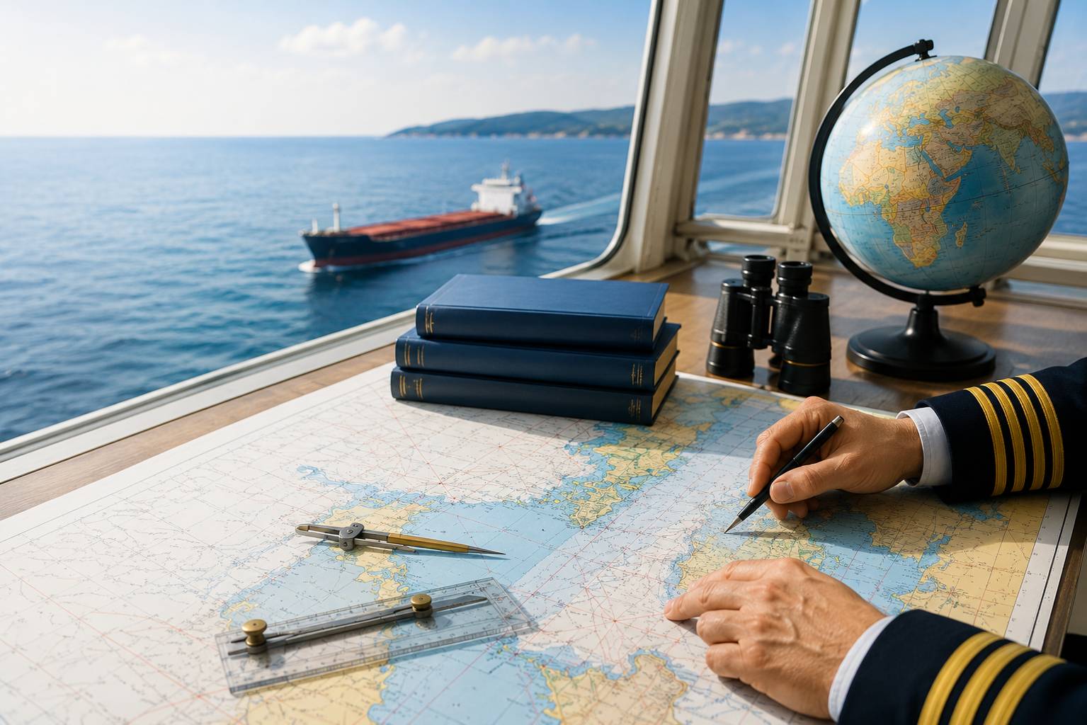
This module introduces students to the world’s maritime routes, oceans, seas, straits, canals and navigable rivers. Students learn about the geographical characteristics of maritime basins and their importance in international navigation. The module helps students understand the purpose of straits and canals in the movement of ships. During the learning process, typical hydrometeorological phenomena occurring in oceans and seas are discussed.
Students become familiar with major ports around the world, their functions and differences in terms of cargo turnover. The module also includes an introduction to the ports of Georgia and an assessment of their role in maritime transport. Students learn to connect different types of vessels with the purposes of ports.
The practical component includes identifying oceans, seas, straits, canals, ports and rivers on a map. The module develops students’ skills in spatial orientation, working with maps and understanding maritime routes. Upon completion of the module, students are able to geographically identify the main maritime routes and important ports.